#weather #paweather #wx #pawx #philadelphia #phillywx
Last night’s rain accumulation is posted here.
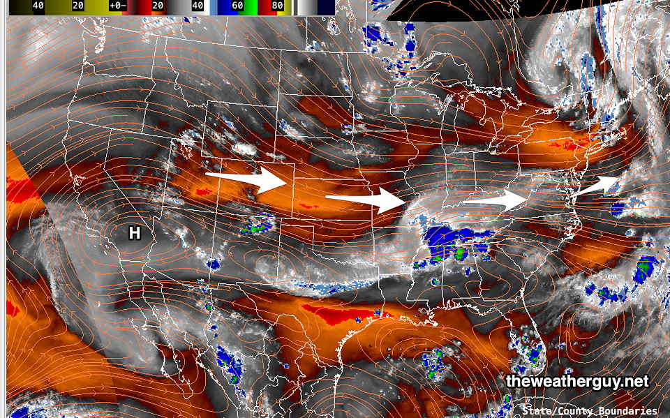
This weekend will be an easy forecast. High pressure will build in for Saturday and Sunday with our overall circulation still around a slight upper trough.

While not a consideration for this weekend, the extended range models are showing the dome of hot air to start migrating north and eastward. Things are looking much hotter here by the end of this coming week into next weekend.
Sunday
Sunny and warmer. Dew points in the low 60s.
High temperature 86.1º sd 1.2º ( NBM model— location Blue Bell, PA)
