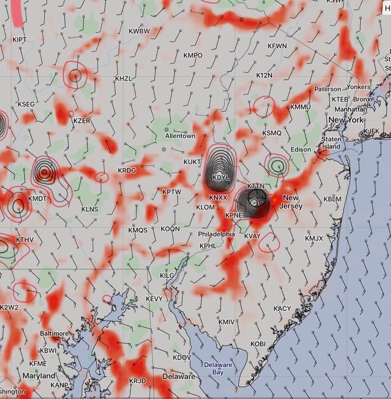
[su_note note_color=”#ffffff”]Updated Thurs 10:45 PM— Tonight’s HIRESW model just became available. It shows significant moisture convergence and vertical dynamics at 1 PM and again at 5 PM. This suggests showers/thunderstorms are possible around Philadelphia. The HIRESW has been doing well. This may negate the forecast below. I guess we’ll find out.

[/su_note]
A broad upper cyclonic flow will replace the closed upper low on Friday. An area of moisture and clouds moves through mid day Friday.
So mostly sunny with a period of cloudiness Most areas will not have any showers on Friday. High 83.9° sd 1.8°. Dew points in the mid 60s.
Right now, the weekend is looking similar— increasingly warm and more humid. Most areas near Philadelphia won’t have any showers.
