
#Philadelphia #weather #PAwx
Posted Saturday 02/01/25 @ 3:48 PM — The rainfall we had Friday seemed more substantial than it was. Here’s the MRMS 24 hour rainfall totals based on rain gauges and radar calibrated to the rain gauges.—

The forecast for Sunday is little changed. Cloudy for much of the day, except early morning and remaining slightly colder than seasonal averages with highs 37º-39º with higher than usual uncertainty (standard deviation).
Originally Posted Fri 5:04 PM —Following the rain Friday night, high pressure builds in for Saturday with cooler temperatures. On Sunday, low pressure to our north will bring clouds but no precipitation is expected here. Still seasonably cold.
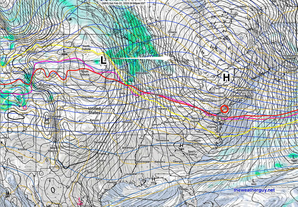
Here’s the GFS forecast for Saturday—
A seasonably cold day Sunday will be replaced by a mild day on Monday, followed by a cold front passing through Monday evening with colder weather returning for Tuesday.
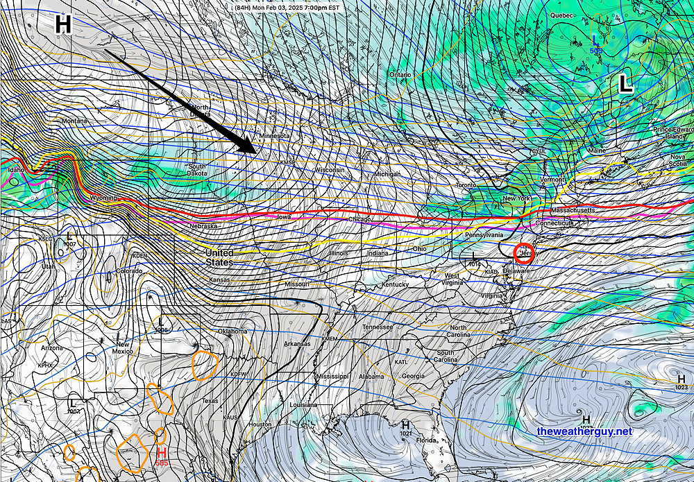
By Monday—
There’s still the possibility of rain on Thursday and another storm is again showing for Super Bowl weekend.
Saturday Forecast
Mostly sunny and somewhat seasonably cold. Windy in the morning, but winds gradually decrease during the afternoon.
NBM high temperatures: Blue Bell, PA 38º Philadelphia, PA 41º
Higher than usual uncertainty (based on standard deviation): ± 2.1º
Sunday Forecast
Some bright areas through clouds early, then mostly cloudy late morning and during the afternoon. Less windy
NBM high temperatures: Blue Bell, PA 39º Philadelphia, PA 42º
High then usual uncertainty (based on standard deviation): ± 2.4º