The model forecasts for this weekend are surprisingly consistent.
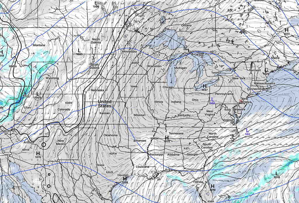
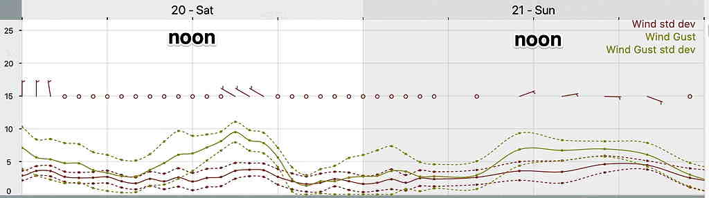
Following a weak cold front passage late Friday, weak high pressure is expected to build in for Saturday. Saturday currently looks to be mostly sunny and mild with temps in the 60s—
Low pressure moving up through the Ohio valley is expected to bring clouds and rain on Sunday with cooler temps—
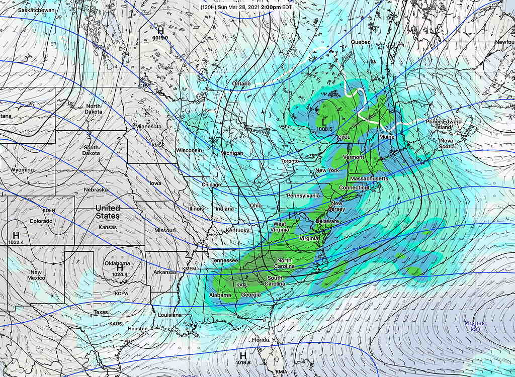
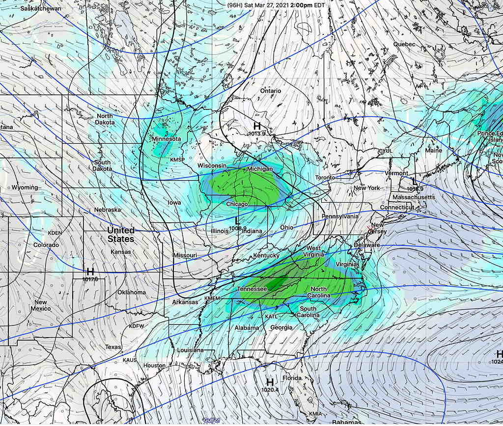
It’s interesting that the models show high agreement for the weekend. We’ll have rain on Wednesday, but the time frame from Thursday through Friday is a little more uncertain regarding the timing of several frontal passages and the amount of dynamics in our area. Questions remain about the timing of showers Thursday (if any) and the possibility of thunderstorms late night Thursday (with a warm front passage) and again late Friday afternoon with a weak cold front.
Friday looks to be very warm but VERY windy. I’ll update if things get interesting.