Tonight, our area will see more thunderstorms making it through Philadelphia.
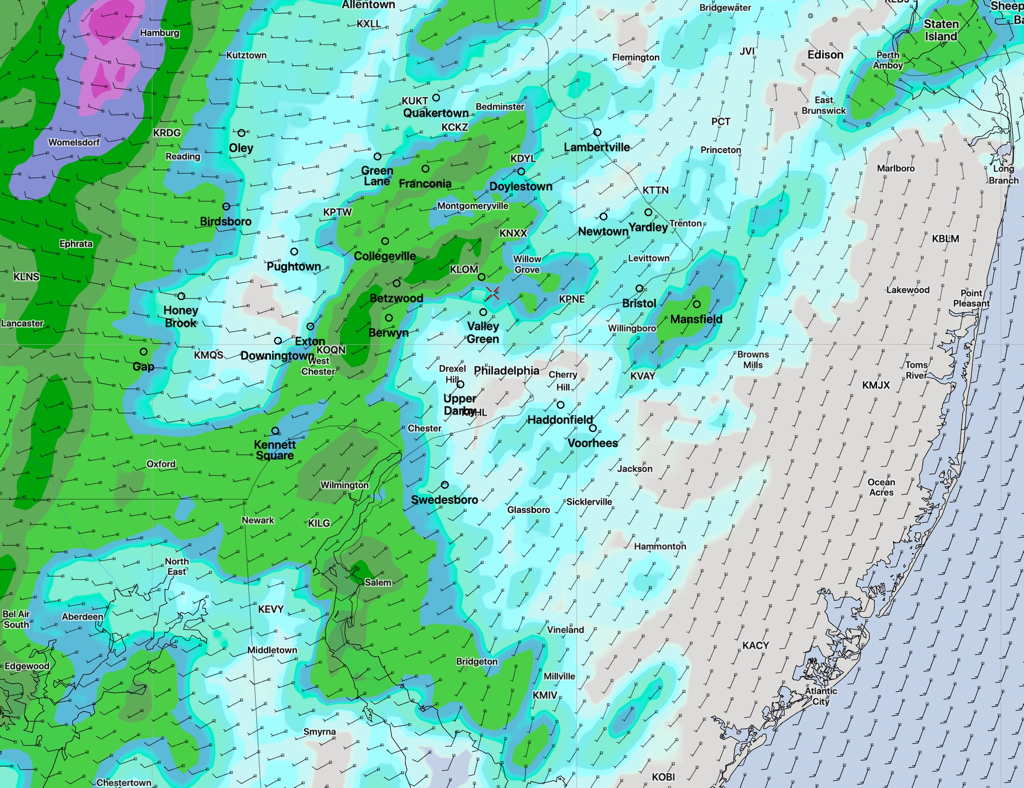
Last night’s storms did hit a wall of stability as they attempted to move into Philadelphia. Areas north and west, especially upper Montgomery county and parts of Bucks/Lehigh county saw some heavy storms.
But most of us had just light showers, just remnants of the storms as the thunderstorms ran into a large ‘unfavorable’ environment of “convective inhibition”.
Today, Wednesday, things look a little different as a stronger upper air disturbance approaches from the west—
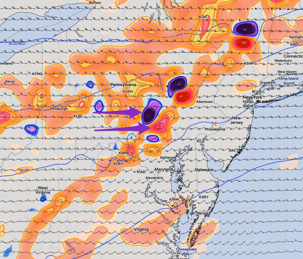
These will likely meet a similar wall of stability, but the strength of today’s dynamics should overcome the wall of convective inhibition.
Very scattered storms may develop ahead of the disturbance as early 2 PM, but the main activity is expected between 5 PM and 9 PM.