
As mentioned in my forecast outlook earlier this week, high pressure was expected to move in and suppress a frontal boundary far enough to our south to give us a postcard perfect weekend. However, I had mentioned that a slight change in the frontal boundary position could change that perfect forecast.
WIth today’s model runs, it appears that high pressure won’t push far enough south; as a result, clouds and a chance of showers may make their appearance Sunday afternoon and Monday as low pressure moves along the stalled front.
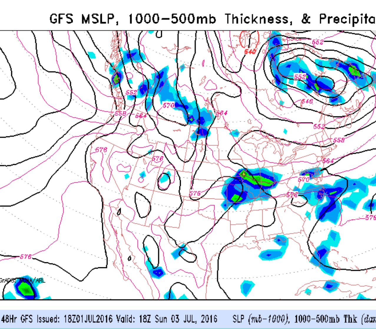
There are large differences between the NAM and GFS models regarding timing of the showers, wth the GFS moving the showers in Sunday afternoon while the NAM waits for Monday.
Either way, Saturday will be the best day, with sunny skies and pleasant temperatures in the low 80s.
Sunday and Monday look to be mostly cloudy with showers looking more likely. I’ll update late Saturday to see if things are better defined.
Saturday 7AM update: There is still uncertainty about precipitation chances for late Sunday and Monday, with significant differences between the NAM and GFS models.