Update Thu @ 9:14 PM — This afternoon’s models continue to forecast rain Saturday morning until about 10 AM, then just cloudy. Showers return by evening. Morning clouds on Sunday, then sunny
Update Thu @ 10:18 AM — Well, this morning’s HIRESW models have some rain in our area until about 10 AM Saturday, then just cloudy. So the NBM -based forecast update post below may be too optimistic with rain staying north.
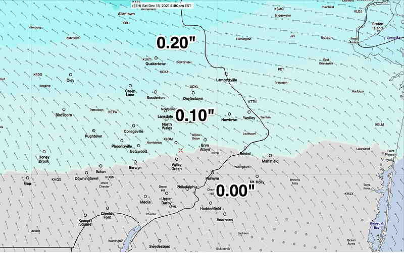
Update Thu @ 8:45 AM — The models continue with very light rain/sprinkles north of the city. It will be quite cloudy, but the NBM has almost no rain in the Philadelphia area and south before 4 PM Saturday—

Model Blend (NBM) forecast 4 PM Saturday, showing little to no rain in the immediate PHL area through 4 PM. Rain overspreads the area Saturday night. High temperatures 51º ± 3º
Update Wed @ 9:21 PM — Not much change in the forecast. Warm weather (for December) expected on Thursday and Friday.
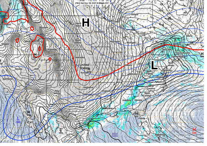
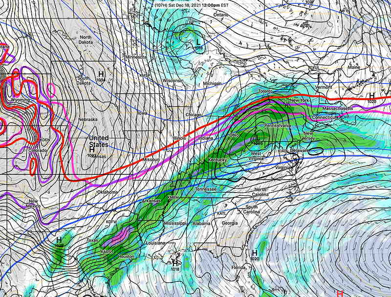
Low pressure moves in Friday night and Saturday with clouds and showers. The heavier rain remains far north of our area. The only change is that the system is moving a bit slower than had been previously forecast with my prior update.

Sunday looks to become mostly sunny, but colder.
Next week looks colder still.
Update Tue @ 9:42 AM — The milder weather is on its way through the end of the week. The increase clouds mentioned below are also on their way.
The models are in good agreement about low pressure developing in the Mississippi Valley and moving over our general area on Saturday with rain for much of the day. High pressure builds in on Sunday with seasonably colder weather.

Previously Posted Sun 6:02 PM —
Following a very mild Saturday and a more seasonably cold Sunday, this week’s weather will be influenced by an upper air ridge. This upper ridge will bring above seasonal average temperatures to our area through Friday.
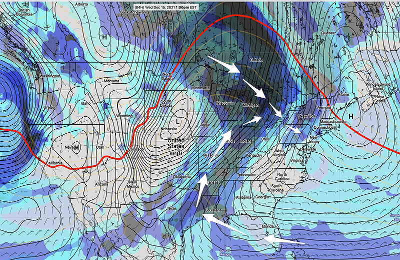
A secondary effect of this upper air ridge will be a flow of increasing moisture and development of significant cloudiness by Wednesday—

The entire ridge will shift east and flatten for the weekend. An increased chance of rain is likely by Friday or Saturday. Following the warmup this week, no extreme cold outbreaks are seen for us.
Right now, the long range outlook is for no snow storms through Christmas.
