Update Sun 11:59 AM highlighted below
Friday’s Weekend Weather Forecast had so many updates, it’s difficult to comb through. So here’s an updated Sunday forecast:
High pressure will build back in on Sunday, A flow of increasingly hot and very humid air, typical for the end of June and beginning of July, will begin to affect us on Sunday and beyond.
Mostly sunny, hot and increasingly humid. (Dew points in the uncomfortable upper 60s to above 70º!) High temp 90.3.º sd 1.3º (NBM Blue Bell)
There’s a chance of early to mid afternoon widely scattered showers northwest (Reading) and in central NJ.
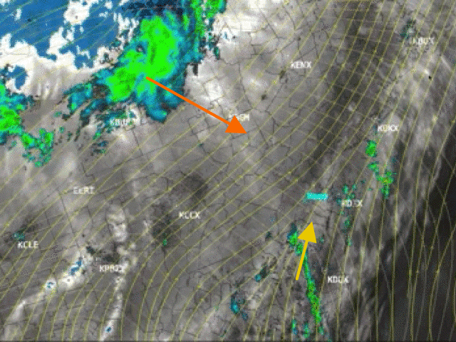
Update Sun 11:59 AM— This morning’s models continue to show the chance of early to mid afternoon showers in central NJ and areas north. The HIRESW models seem to be overstating the rain. But Satellite Water Vapor shows a disturbance moving south that may interact and create some showers.
Temperatures on Monday, Tuesday and Wednesday will be even hotter, with temps 91º-94º with high dew points.