
Saturday morning update:
from Friday night…
A weak cold front moved through Friday morning. Another front will move through before daybreak Saturday.
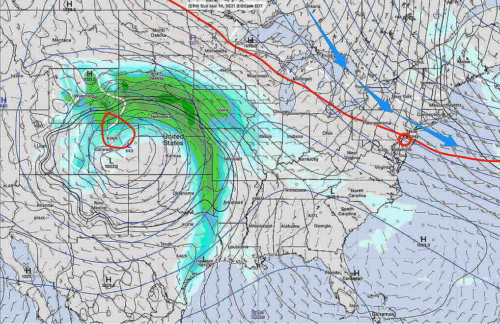
We’ll be in a northwesterly upper air and surface flow—
We’ll have sunny skies on Saturday and high temperatures 48.3º sd 2.3º (Model Blend-Blue Bell)
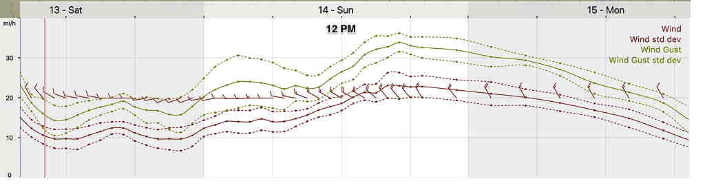
Sunday will continue with mostly sunny skies, but an upper air disturbance moving through may bring some partial cloudiness for part of the afternoon. The same disturbance will likely cause it to be windy. High temp 53.1º sd 3.2º (Model Blend-Blue Bell)
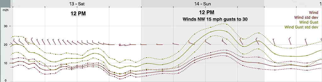
Winds for Saturday and Sunday:
Outlook: While it’s been mild and dry, this weekend’s change to more ‘normal’ temperatures will be a prelude for wet weather next week and colder weather next weekend.