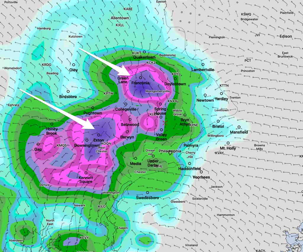
Sat 09:21 AM Update — The built-in model cloud cover parameter has only 50% cloudiness. But the GFS and NAM-NEST show low level moisture (below 10,000 ft) near 90%. So it appears that we may have less sun today than originally forecast. Still expect brights spots around 1 PM, but the easterly flow may lock in low level clouds. A lower than usual confidence forecast.
from last night…
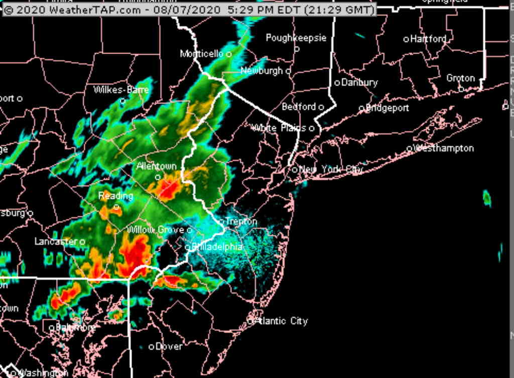
The weak frontal boundary that gave some areas wild weather this evening will remain in the area on Saturday. An easterly flow will keep things on the relatively cool side. Lingering moisture and upper air instability may cause widely scattered showers or thunderstorms in the afternoon.
Tonight’s models just becoming available are underplaying the showers on Saturday but have a mix of sunshine and clouds.
Saturday—
- Cloudy in the morning, becoming a mix of sun and clouds towards noontime and that mix continues into the afternoon.
- High temp 82.9º sd 2.1º Somewhat humid. Dew points near 68º
- Winds calm or light from the East.
- Chance of widely scattered showers and thunderstorms in the afternoon and evening. Impossible to say where they will form.
High pressure builds in for Sunday.
Sunday—
- Cloudiness very early, becoming sunny.
- High temp 87.9º sd 2.8º (high spread). Less humid. Dew points near 66º
- Winds SW light with some gusts to 15 in the afternoon.